Get every episode summarized
Each time All Things Policy publishes, we email you a written briefing from the transcript — the topics, who appeared, and any specific claims, with the ad reads skipped.
Email me new episodesFree for 3 shows. No card needed.
About this episode
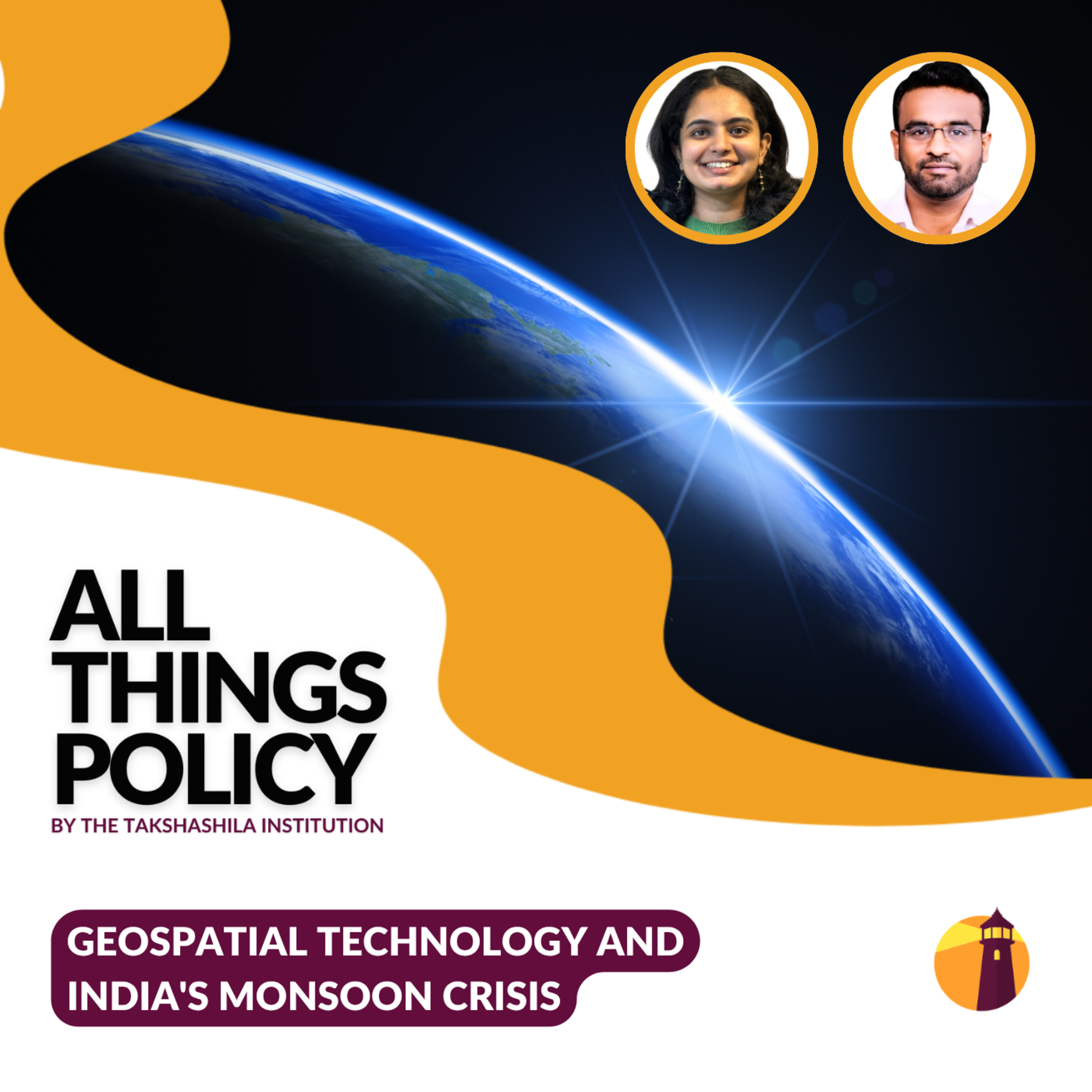
Geospatial data can predict where a flood will happen. Satellite imagery can identify vulnerable settlements before disaster strikes. Real-time mapping can guide evacuation decisions. India has all these tools. Yet our early warning systems remain fragmented, slow, and disconnected. In this episode of All Things Policy, host Kavya Rai sits with Dr Y. Nithiyanandam as he explains what needs to change in how we coordinate disaster response and what works in other countries.
All Things Policy is a daily podcast on public policy brought to you by the Takshashila Institution, Bengaluru.Find out more on our research and other work here: https://takshashila.org.in/research-areas
Check out our public policy courses here: https://school.takshashila.org.in
Get every episode summarized
Each time All Things Policy publishes, we email you a written briefing from the transcript — the topics, who appeared, and any specific claims, with the ad reads skipped.
Email me new episodesFree for 3 shows. No card needed.
Hosts & guests
No transcript yet
This episode has not been transcribed. Request it and it moves to the front of the queue.
More episodes
More from All Things Policy

A New Congress, A New Challenge for India-US Ties?
All Things Policy

America Votes | Why should India care?
All Things Policy

The Limits of US-China Cooperation on AI Safety
All Things Policy

The Medical Wild East
All Things Policy