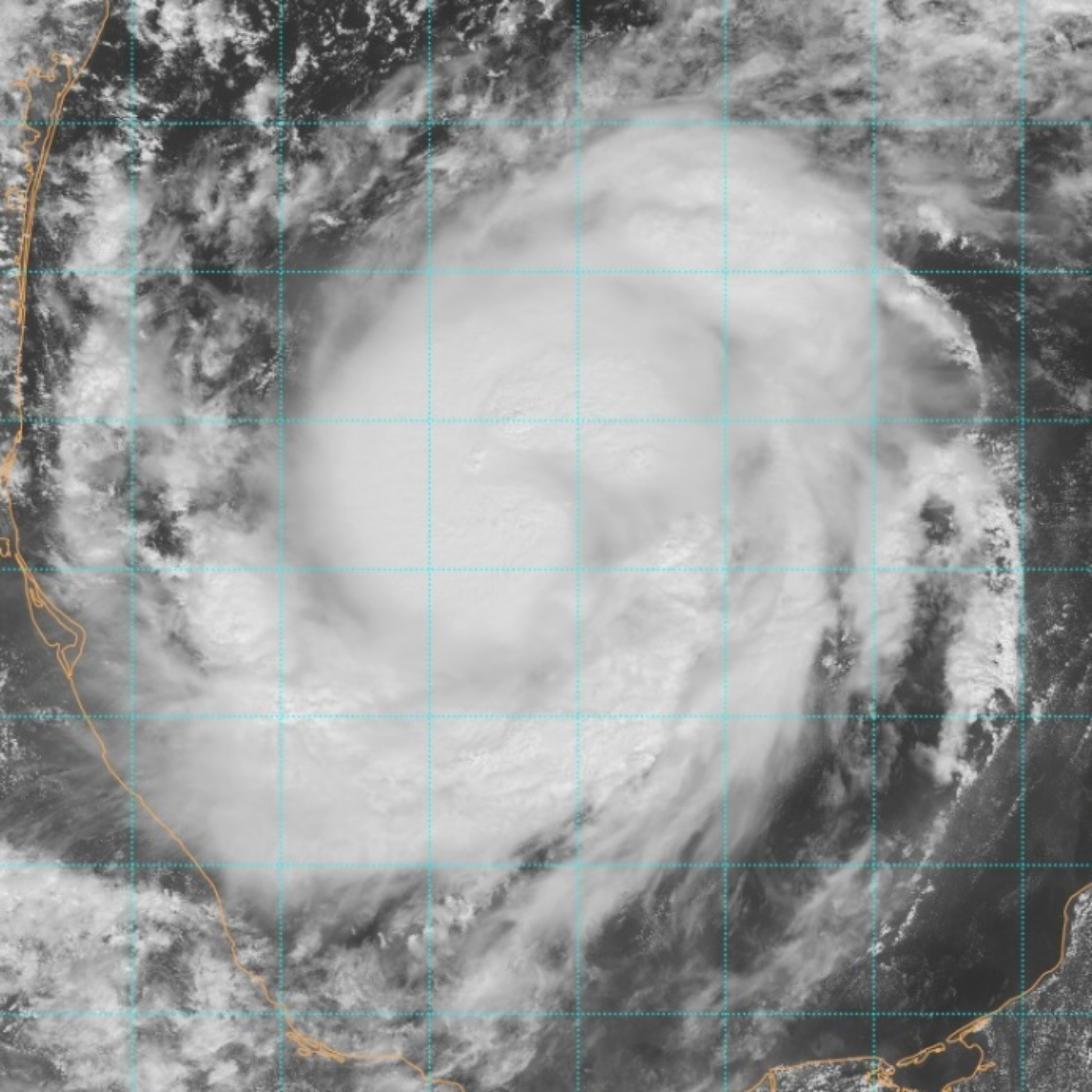
Hurricane Hunters Say Milton is Rapidly Intensifying as We Look at Different Landfall Scenarios
About this episode
Sunday afternoon update on Hurricane Milton, which is rapidly intensifying in the Gulf of Mexico. Details on the hurricane's current location, movement, and projected path, indicating that it is expected to become a major hurricane and approach the west coast of Florida by midweek. Hazards, including storm surge and heavy rainfall which could lead to flooding, and dangerous surf conditions along the Gulf Coast are a concern especially near and south of the landfall location. Points to the north of the center of circulation could see stronger wins and rain then on the so-called “dirty side“ which would normally be on the southside interaction with a jet streak the storm could be a little bit different. We looked at scenarios with, the potential for one north of Tampa Bay and a scenario for south of Tampa Bay.
Get every episode summarized
Each time Meteorology Matters publishes, we email you a written briefing from the transcript — the topics, who appeared, and any specific claims, with the ad reads skipped.
Email me new episodesFree for 3 shows. No card needed.
No transcript yet
This episode has not been transcribed. Request it and it moves to the front of the queue.
More episodes
More from Meteorology Matters

Where Are the Atlantic Hurricanes? El Niño 2026, Record Heat & Possible Mediterr...
Meteorology Matters

The Weather of 9/11: Hurricane Erin, the Smoke Plume and an Empty Sky — 25 Years...
Meteorology Matters

The 1935 Labor Day Hurricane: The Veterans, the Rescue Train & the Strongest Sto...
Meteorology Matters

The Mountain Broke: What Caused the Nepal–China Flash Flood?
Meteorology Matters