scienceJul 3, 20268:31pending
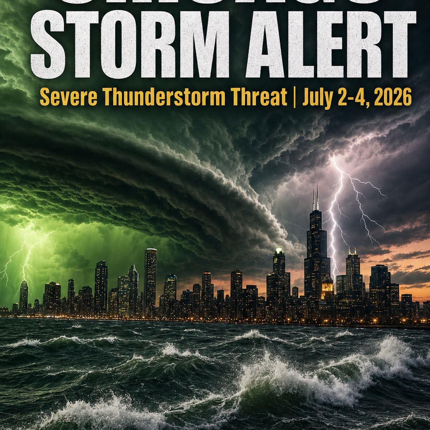
Chicago Storm Alert: Severe Thunderstorm Threat — July 2-4, 2026
About this episode
Chicago Storm Alert: Severe Thunderstorm Threat July 2-4, 2026
Weather With Enthusiasm — Special Episode
A deep meteorological breakdown of the thunderstorm threat facing Chicago and northern Illinois over the next 48 hours — sourced directly from the NWS Chicago Area Forecast Discussion (3:15 PM CDT, July 2), the NWS Hazardous Weather Outlook (3:24 PM CDT, July 2), the SPC Day 1 Convective Outlook (3:00 PM CDT, July 2 — forecaster Squitieri), and the SPC Day 2 Convective Outlook (12:17 PM CDT, July 2 — forecaster Jewell).
━━━━━━━━━━━━━━━━━━━━━━━━━━━━━━
TONIGHT — THURSDAY JULY 2 (after 8-9 PM CDT)
━━━━━━━━━━━━━━━━━━━━━━━━━━━━━━
• SPC Day 1: MARGINAL Risk for Chicago | SLIGHT Risk for Milwaukee/WI corridor
• HWO: Level 1 of 5 Damaging Wind Risk (up to 60 mph) | Level 1 of 5 Large Hail (up to quarter size) | Limited Flooding Risk
• Storm type: MCS (Mesoscale Convective System) traversing WI/IL border
• Key threats: Wet microbursts, DCAPE >1,000 J/kg, elevated PWATs
• Flash flood scenario: Training convection possible if cold pools merge across far northern Illinois
• Storm spotters activated
• Activity wanes after ~4 AM Friday
━━━━━━━━━━━━━━━━━━━━━━━━━━━━━━
FRIDAY JULY 3 — THE BIGGER EVENT (1 PM–7 PM CDT)
━━━━━━━━━━━━━━━━━━━━━━━━━━━━━━
• SPC Day 2: SLIGHT Risk for Chicago — one category higher than tonight
• HWO: Level 2 of 5 Severe Thunderstorm Risk (Elevated) | Limited Flooding Risk
• Driver: More potent upper-level shortwave crossing northern Arizona Thursday → reaches northern IL/southern WI Friday afternoon
• Environment: Dew points solidly mid to locally upper 70s°F | Uncapped air mass | Modest deep-layer shear
• Storm mode: Potential line or multicell clusters traversing northern IL into NW Indiana
• Primary threat: Damaging wind gusts
• Extreme Heat Warning extended until 7 PM Friday for areas near/south of Kankakee River (Day 5 of heat wave)
• Possible improvement Friday evening — watch 5 and 7 PM NWS updates for fireworks forecast
━━━━━━━━━━━━━━━━━━━━━━━━━━━━━━
SATURDAY — INDEPENDENCE DAY (July 4)
━━━━━━━━━━━━━━━━━━━━━━━━━━━━━━
• HWO: Level 1 of 5 Severe Thunderstorm Risk | Limited Flooding Risk
• Storm location highly uncertain — range from southern Wisconsin to southern Illinois
• Mid-level wave may slow/stall over western Great Lakes
• Many dry hours expected between rounds
• Heat index near 95-100°F near/south of I-80
━━━━━━━━━━━━━━━━━━━━━━━━━━━━━━
SUNDAY JULY 5
━━━━━━━━━━━━━━━━━━━━━━━━━━━━━━
• HWO: Limited Thunderstorm Risk — no elevated severe parameters
• Drier, somewhat cooler conditions expected by mid-week
━━━━━━━━━━━━━━━━━━━━━━━━━━━━━━
KEY TECHNICAL TERMS EXPLAINED
━━━━━━━━━━━━━━━━━━━━━━━━━━━━━━
• PWAT (Precipitable Water): Total atmospheric moisture column — high values = heavy rain potential
• DCAPE (Downward CAPE): Energy available for damaging downdrafts — >1,000 J/kg = significant
• Wet Microburst: Downburst driven by precipitation weight + evaporation — 60+ mph surface gusts possible
• MCS (Mesoscale Convective System): Large organized cluster of thunderstorms
• Outflow Boundary: Gust front of cold air pushed ahead of storm clusters
• Training Convection: Multiple cells repeatedly crossing same area — flash flood setup
• HREF: High Resolution Ensemble Forecast — blended high-res model output
• Shortwave: Ripple of energy rotating through the jet stream that triggers convection
• Zonal Flow: Jet stream flowing straight west-to-east, embedding smaller shortwaves
Sources: NWS Chicago (weather.gov/chicago) | Storm Prediction Center (spc.noaa.gov)
Morning forecasts at 7 AM every day on Spreaker. Historical weather deep-dives every Tuesday and Thursday.
$5/month supports this broadcast — spreaker.com/podcast/weather-with-enthusiasm--4911017/support
#Chicago #SevereWeather #Thunderstorms #NWS #SPC #WeatherWithEnthusiasm #July4th #StormAlert
Not affiliated with any government agency or academic institution. Presented for educational and entertainment purposes — with meaning.
Support the show — exclusive bonus episodes available to subscribers for just $2/month at spreaker.com/organization/kol-simcha
Weather With Enthusiasm — Special Episode
A deep meteorological breakdown of the thunderstorm threat facing Chicago and northern Illinois over the next 48 hours — sourced directly from the NWS Chicago Area Forecast Discussion (3:15 PM CDT, July 2), the NWS Hazardous Weather Outlook (3:24 PM CDT, July 2), the SPC Day 1 Convective Outlook (3:00 PM CDT, July 2 — forecaster Squitieri), and the SPC Day 2 Convective Outlook (12:17 PM CDT, July 2 — forecaster Jewell).
━━━━━━━━━━━━━━━━━━━━━━━━━━━━━━
TONIGHT — THURSDAY JULY 2 (after 8-9 PM CDT)
━━━━━━━━━━━━━━━━━━━━━━━━━━━━━━
• SPC Day 1: MARGINAL Risk for Chicago | SLIGHT Risk for Milwaukee/WI corridor
• HWO: Level 1 of 5 Damaging Wind Risk (up to 60 mph) | Level 1 of 5 Large Hail (up to quarter size) | Limited Flooding Risk
• Storm type: MCS (Mesoscale Convective System) traversing WI/IL border
• Key threats: Wet microbursts, DCAPE >1,000 J/kg, elevated PWATs
• Flash flood scenario: Training convection possible if cold pools merge across far northern Illinois
• Storm spotters activated
• Activity wanes after ~4 AM Friday
━━━━━━━━━━━━━━━━━━━━━━━━━━━━━━
FRIDAY JULY 3 — THE BIGGER EVENT (1 PM–7 PM CDT)
━━━━━━━━━━━━━━━━━━━━━━━━━━━━━━
• SPC Day 2: SLIGHT Risk for Chicago — one category higher than tonight
• HWO: Level 2 of 5 Severe Thunderstorm Risk (Elevated) | Limited Flooding Risk
• Driver: More potent upper-level shortwave crossing northern Arizona Thursday → reaches northern IL/southern WI Friday afternoon
• Environment: Dew points solidly mid to locally upper 70s°F | Uncapped air mass | Modest deep-layer shear
• Storm mode: Potential line or multicell clusters traversing northern IL into NW Indiana
• Primary threat: Damaging wind gusts
• Extreme Heat Warning extended until 7 PM Friday for areas near/south of Kankakee River (Day 5 of heat wave)
• Possible improvement Friday evening — watch 5 and 7 PM NWS updates for fireworks forecast
━━━━━━━━━━━━━━━━━━━━━━━━━━━━━━
SATURDAY — INDEPENDENCE DAY (July 4)
━━━━━━━━━━━━━━━━━━━━━━━━━━━━━━
• HWO: Level 1 of 5 Severe Thunderstorm Risk | Limited Flooding Risk
• Storm location highly uncertain — range from southern Wisconsin to southern Illinois
• Mid-level wave may slow/stall over western Great Lakes
• Many dry hours expected between rounds
• Heat index near 95-100°F near/south of I-80
━━━━━━━━━━━━━━━━━━━━━━━━━━━━━━
SUNDAY JULY 5
━━━━━━━━━━━━━━━━━━━━━━━━━━━━━━
• HWO: Limited Thunderstorm Risk — no elevated severe parameters
• Drier, somewhat cooler conditions expected by mid-week
━━━━━━━━━━━━━━━━━━━━━━━━━━━━━━
KEY TECHNICAL TERMS EXPLAINED
━━━━━━━━━━━━━━━━━━━━━━━━━━━━━━
• PWAT (Precipitable Water): Total atmospheric moisture column — high values = heavy rain potential
• DCAPE (Downward CAPE): Energy available for damaging downdrafts — >1,000 J/kg = significant
• Wet Microburst: Downburst driven by precipitation weight + evaporation — 60+ mph surface gusts possible
• MCS (Mesoscale Convective System): Large organized cluster of thunderstorms
• Outflow Boundary: Gust front of cold air pushed ahead of storm clusters
• Training Convection: Multiple cells repeatedly crossing same area — flash flood setup
• HREF: High Resolution Ensemble Forecast — blended high-res model output
• Shortwave: Ripple of energy rotating through the jet stream that triggers convection
• Zonal Flow: Jet stream flowing straight west-to-east, embedding smaller shortwaves
Sources: NWS Chicago (weather.gov/chicago) | Storm Prediction Center (spc.noaa.gov)
Morning forecasts at 7 AM every day on Spreaker. Historical weather deep-dives every Tuesday and Thursday.
$5/month supports this broadcast — spreaker.com/podcast/weather-with-enthusiasm--4911017/support
#Chicago #SevereWeather #Thunderstorms #NWS #SPC #WeatherWithEnthusiasm #July4th #StormAlert
Not affiliated with any government agency or academic institution. Presented for educational and entertainment purposes — with meaning.
Support the show — exclusive bonus episodes available to subscribers for just $2/month at spreaker.com/organization/kol-simcha
Get every episode summarized
Each time Weather With Enthusiasm ! publishes, we email you a written briefing from the transcript — the topics, who appeared, and any specific claims, with the ad reads skipped.
Email me new episodesFree for 3 shows. No card needed.
Hosts & guests
No transcript yet
This episode has not been transcribed. Request it and it moves to the front of the queue.
More episodes
More from Weather With Enthusiasm !

The Extremes Of Weather September 4th United States
Weather With Enthusiasm !
Sep 4, 20267:52completed

Learning teamwork from the atmosphere
Weather With Enthusiasm !
Sep 4, 20261:53completed

9-3-26 : Extreme Heat Continues along with three hurricanes
Weather With Enthusiasm !
Sep 4, 202615:56failed
September 3rd weather synopsis for the next 7 days for the United States 2026
Weather With Enthusiasm !
Sep 3, 202620:16completed